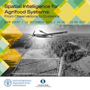
Register now for the EBRD-FAO E-Dialogue “Spatial intelligence for agrifood systems: from observations to evidence”
Geospatial intelligence is increasingly supporting practical applications across agriculture, from irrigation scheduling and crop monitoring to sustainability verification and investment decision-making. Satellite data, combined with AI and other geospatial technologies, can help detect crop stress earlier, improve resource management and provide evidence across large agricultural areas. Yet important challenges remain. Accuracy, uncertainty, cost, field validation and scalability vary across technologies, applications and farming systems, making it essential to understand which solutions are ready for operational use and which are still