
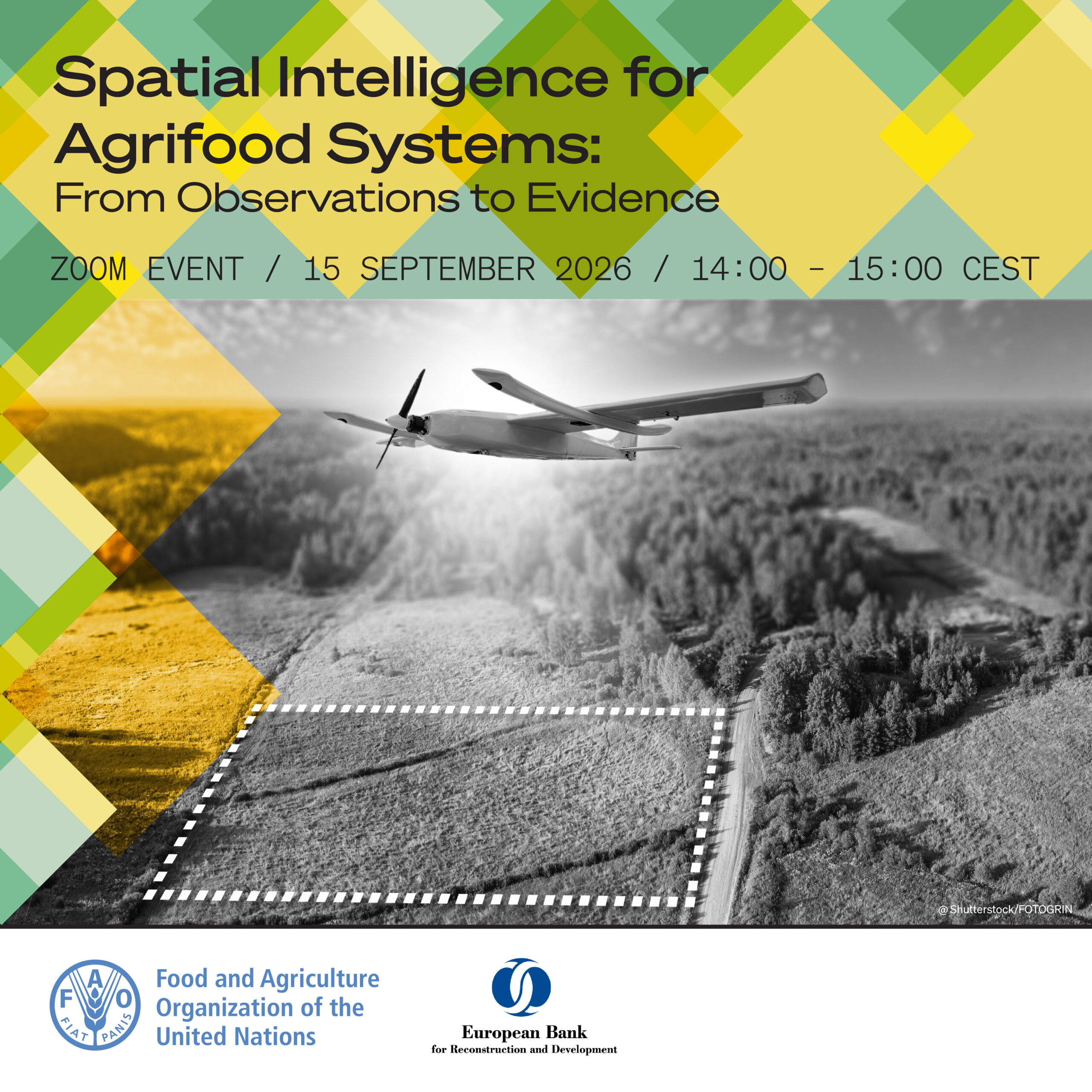
Geospatial intelligence is increasingly supporting practical applications across agriculture, from irrigation scheduling and crop monitoring to sustainability verification and investment decision-making. Satellite data, combined with AI and other geospatial technologies, can help detect crop stress earlier, improve resource management and provide evidence across large agricultural areas.
Yet important challenges remain. Accuracy, uncertainty, cost, field validation and scalability vary across technologies, applications and farming systems, making it essential to understand which solutions are ready for operational use and which are still emerging.
Register here to join us on 15 September 2026, 14:00–15:00 CEST, for the sixth E-Dialogue, “Spatial intelligence for agrifood systems: from observations to evidence”, exploring how geospatial technologies can move from observation to trusted evidence for real-world agrifood decisions.
The session will feature a keynote contribution from the German Helmholtz Research Centre for Geosciences, followed by perspectives from the European Space Agency (ESA), Esri and Barilla Group, bringing together expertise in Earth observation, geospatial technology and agribusiness applications.
This session is part of the EBRD-FAO ACES Innovation Series, jointly organized by FAO and EBRD under the Agrifood Climate and Environmental Sustainability (ACES) Initiative.